OS Digital Terrain Tiles - 5km x 5km Tiles - Overview
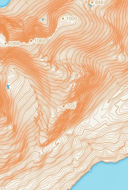
OS Terrain 5 is a mid-resolution DTM, designed to be interoperable with Ordnance Surveys large-scale data... GIS experience/knowledge is required to get the most out of this product...
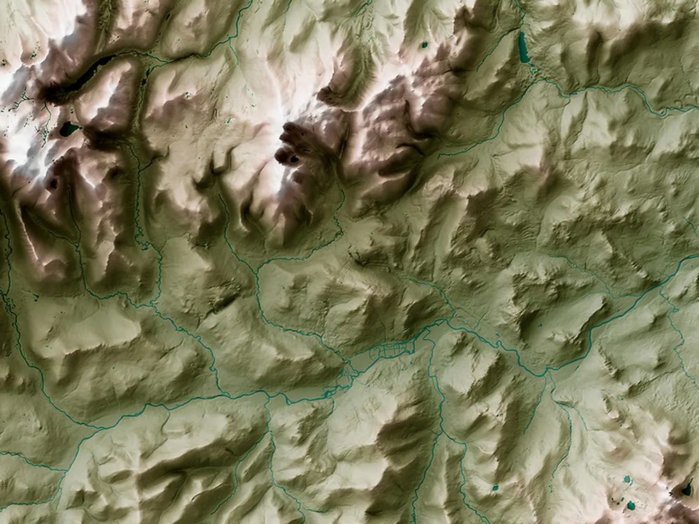
OS Terrain 5 provides an ideal base to enable the third dimension for other data within an appropriate geographical information system (GIS). The height data has been created from a source that is also used to update Ordnance Survey large-scale data products.
OS Terrain 5 can be used in conjunction with various Ordnance Survey digital products for analytical, modelling, planning and visual purposes. These uses enable customers to undertake the following:
- Asset / site management
- Environmental analysis
- View shed modelling
- Landscape visualisation and fly-through sequences
- Planning and development
- Wind farm location planning
- Flood risk assessment
- Foundation for 3D modelling
Alternative Products: