


OS 50k Raster Tile - Overview
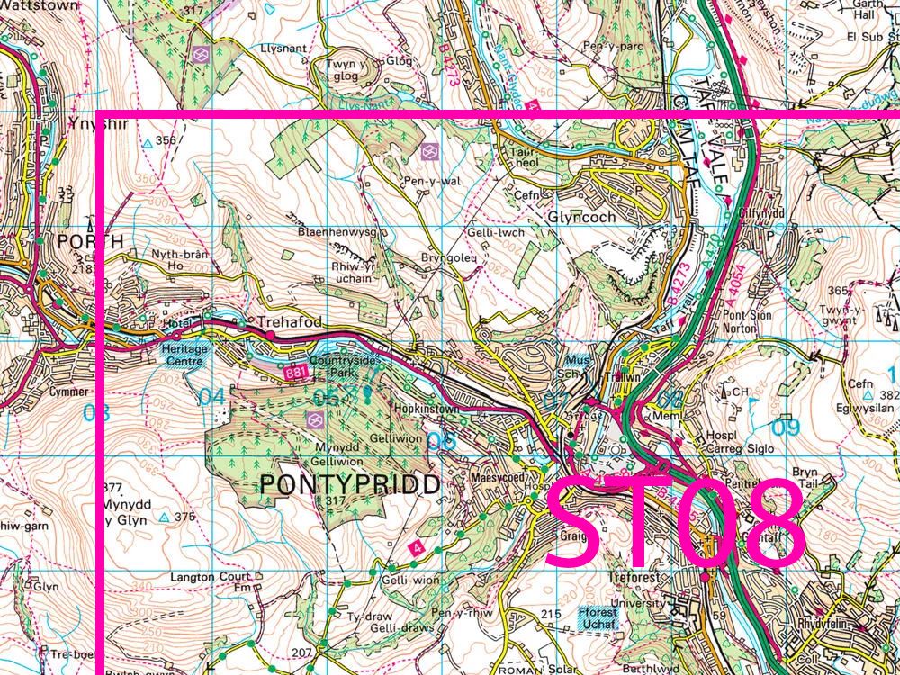
OS 1:50,000 Scale Colour Raster gives you access to the most detailed, current and comprehensive dataset of Great Britain in a GeoTiff format:
- Designed for use with GIS systems
- Georeferencing file also supplied (world files)
- Flat Image for GIS backdrop mapping
- OS 50k Landranger Maps are from this Data
- Unlimited outputting (eg PDFs) from GIS of any scale within the selected licence term and for IBU (Internal Business Use)
Alternative Products: