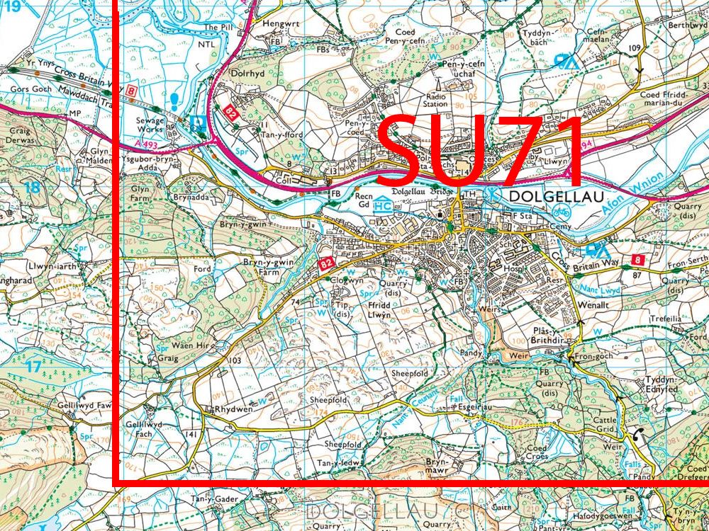
1:25,000 Colour Raster Tiles
Step 1: Select Location
Step 2: Click on Map to select Tiles
Step 3: Options & Buy
Product Information
OS 25k Raster: 10km x 10km Tiles

This is the ideal mapping backdrop data product upon which to overlay business or leisure information. It also complements vector datasets of a similar scale or your own geographical data.
Step 2
10000m x 10000m
Step 3
Select Licence Term:
1:25 000 Scale Colour Raster - 10km x 10km Tiles
Support Section
Geo-referencing
Geo-referencing files allow tiles of map data to be located in their correct geographical position when loaded into a geographical information system (GIS).
The geographical information is stored within the Geo-referenced tile so that they will load into to there real world position when loaded into your GIS software package.
You can download a sample tile via the link at the top of the page under the samples tab.
Below there are TIFF World Files (TFW) that can be used to geo-reference raster data in ESRI® ArcView® and ArcInfo® together with TAB files for use with MapInfo®.
TIP: The georeferencing files should be saved in the same directory as the files of the map tiles themselves.
How can I get Sea Tiles for maps?
Downloads
More about 1:25k Raster Data
As this product contains all of the features from the popular and long established OS Explorer paper map it provides a backdrop which is very familiar to the public against which to show your application. This is the largest scale where landscape features like Public Rights of Way and Access Land information are shown which is why it works well with any environmental or leisure application.
It is not exclusively for rural areas as applications such as planning and property management, siting of assets and navigation need the relationship with landscape features like Public Rights of Way.
This is the ideal mapping backdrop data product upon which to overlay business or leisure information. It also complements vector datasets of a similar scale or your own geographical data.
Product Details
- Raster - Flat
- Format: Tiff
- Mid. scale - regional
- 10k x 10k Tiles
- Sea Tiles available
Downloads / Samples
Suggested uses
- Ideal for covering large areas
- Backdrop Mapping in GIS
- Green Space Planning
- Agricultural Services
- Environmental Monitoring
Licence Information
- 1, 2 and 3 years available
- Licence Number supplied with each purchase
Alternative Products
OS Mastermap

Ordnance Survey Large Scale CAD (layered) data.
OS MasterMap Topography Layer in DXF or DWG with optional contours at 0.5m, 1m or 2m intervals.
OS 10k Raster Tiles

1:10 000 Scale Raster provides a backdrop map product at a mid-scale on which you can overlay your information, to provide a geographic context for your data. Available in 5km x 5km and in Backdrop Colour (washout), Black and White or Colour.
OS 10k Vector data for CAD

10k Vector data for CAD or GIS - OS Vector Map Local derived - not as detailed as the large scale OS Mastermap but this mid scale vector product is particularly useful for covering larger areas.
OS Aerial Photography

OS MasterMap® Imagery Layer yields compelling information that you cannot get from mapping alone, such as road markings, habitats, land use, vegetation, pipes and cables, utilities infrastructure, roof types, and building access. 1km x 1km Tiles suppled with the relevent .tfw and .xml file/s.