Ordnance Survey VECTORMAP LOCAL Tiles - 5km x 5km Size GeoReferenced Tiles in GML format for GIS systems
OS VECTORMAP LOCAL Tiles - Overview
Key features of the Vector product:
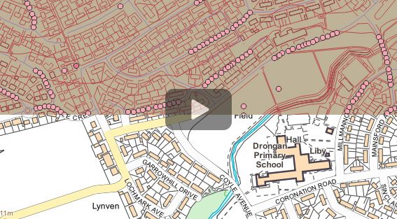
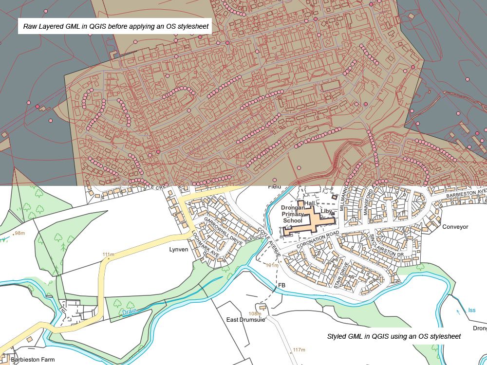
- It is the flexibility to select and style the different feature classes in different ways that makes the vector format of OS VectorMap Local such a versatile contextual mapping product. It can be flexibly styled in a wide variety of ways to best provide a geographic context to the customer’s overlay information. All these style sheets are available at no extra cost from OS.
- Vector data is fully customisable
- You can design your VML basemap to perfectly suit your needs
- Improved generalised building geometries derived from large-scale data
- Features are not cut at tile edges; therefore, the topological relationships of features are maintained
- The nominal viewing scale is 1:10 000, with a recommended viewing scale range of 1:3,000 to 1:20 000 within a GIS setup
Alternative Products: